Remote sensing
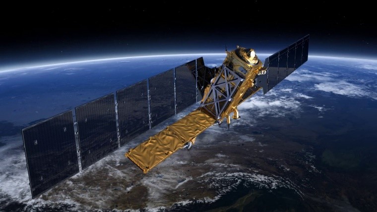
We deliver state of the art products using remote sensing satellite data:
· Georeferenced satellite imagery in the visible spectrum (LANDSAT, Sentinel 2) · Area damage analysis after forest fires using satellite imagery. · Surface deformations after seismic events using InSAR (Sentinel 1) · Cloud cover analysis · Creation of new DEM using SAR data (Sentinel 1) · Remote sensing vegetation analysis (Vegetation classification, climate trends, water content of soils,…) · Calculating Multispectral Vegetation Index (Ratio Vegetation Index, Normalised Difference Vegetation Index, Soil-Adjusted Vegetation Index,…)


