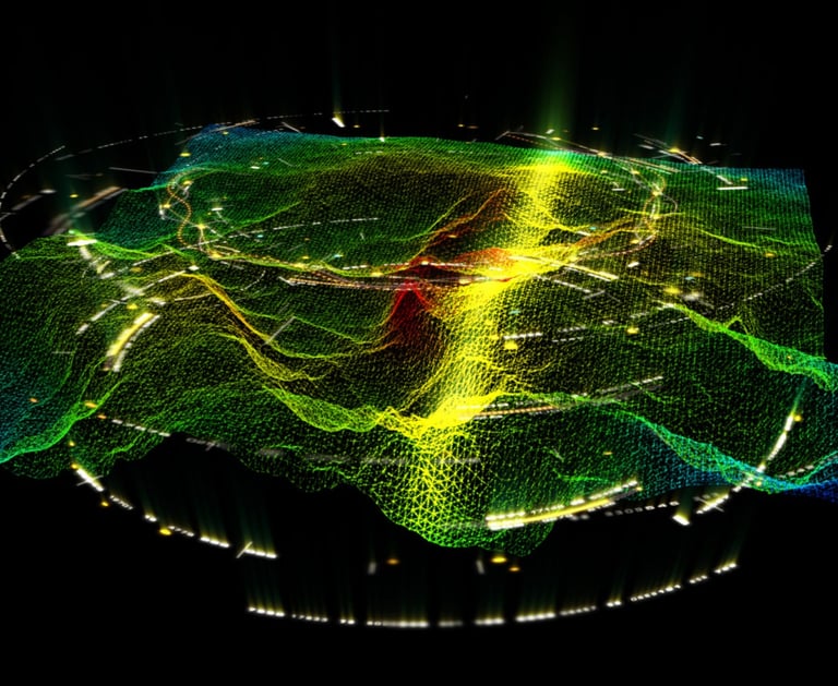
Geospatial analysis
We provide high quality geospatial products using a multitude of tools
· Geographic Information System (GIS) · Data collection using drones · Analysis of terrain: Height, Slope, Insolation, Hillshade,… · 3D visualization of the area · Creating of georeferenced maps for desired areas · Digital elevation models (DEM) using SRTM (Shuttle Radar Topography Mission)